CTA system map
Bus and train routes
The CTA System Map shows both CTA Bus and Rail lines, as well as connecting services provided by other transit agencies in Chicago and surrounding communities.
Downloadable PDFs
Web-based clickable map - view in browser
Individual Route Maps, First Bus/Last Bus, Timetables & More
Looking for information about an individual route? Visit our System Guide for individual route maps, schedules, general hours of service, station timetables and more!
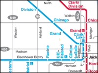
 ‘L’ (rail) system diagram
The CTA ‘L’ system diagram shows train routes only.
Regional maps
The Regional Transportation Authority publishes maps of city and suburban transit provided by CTA, Metra and Pace. Their offerings include:
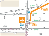
 Overnight service
This map and brochure describes Owl Service (overnight service) for riders who need to travel during overnight hours.
Night Owl Brochure (PDF)